ABOUT THE PROJECT
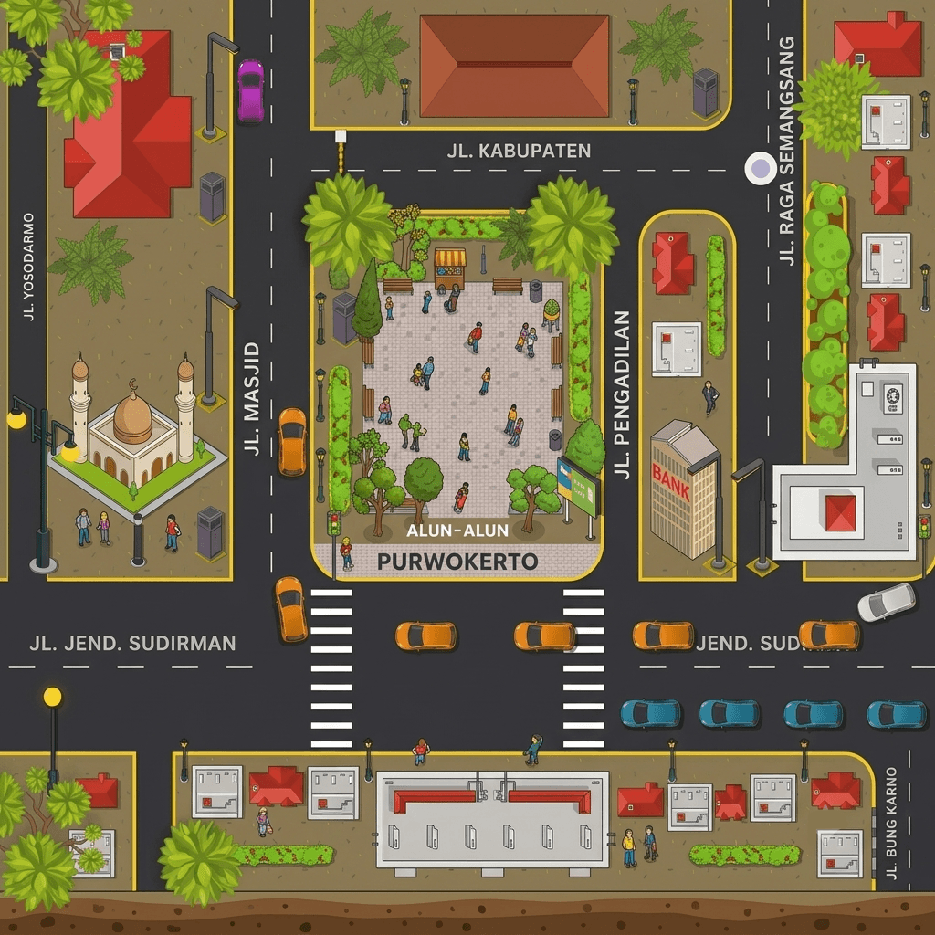
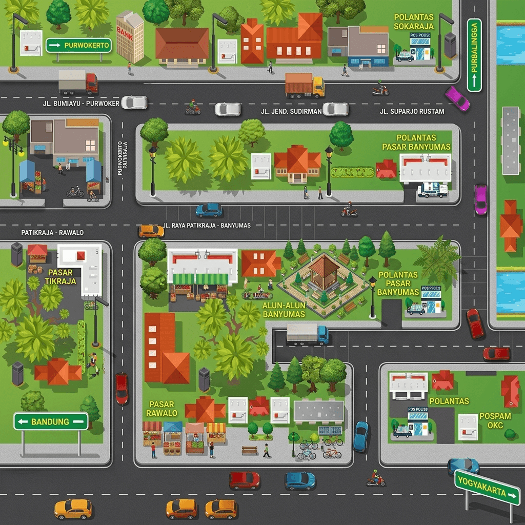
This digital initiative visualizes complex tactical traffic engineering for Polresta Banyumas during peak seasonal operations. It models crucial transit zones including Eid prayers at Purwokerto Square, Baturraden tourism routes, and major homebound mudik corridors in Ajibarang and Sokaraja.
THE CHALLENGE
Managing Massive Urban Mobility And Spatial Data Coherence
Translating raw police operational data and massive vehicular influx patterns into clear, actionable spatial visualizations.
Key challenges included:
Mapping complex intersection geometries with accurate road proportions
Processing real-time traffic volume data into smooth vector loops
Simulating realistic vehicle behaviors across narrow bottlenecks and detours
Representing tactical counter-flow scenarios without cluttering the screen
Maintaining crisp visual clarity across diverse mobile display sizes
OUR APPROACH
Systematic Modeling Through Behavioral Vector Animation
Developing a top-down framework using modular vector tracking to simulate real-time traffic behaviors. We mapped out specific road behaviors, structured multi-lane dynamics, and automated vehicle spawning cycles to cleanly mirror actual field deployment strategies.


VISUAL DIRECTION
The visual direction centers on technical clarity, high legibility, and precise spatial representation. Utilizing a clean, flat 2D vector graphic style with an absolute top-down (orthographic) perspective, the creative language prioritizes instant information scanning over cinematic flair. The color palette uses highly contrasting tones vibrant greens for landscapes and deep charcoal for road networks to ensure tactical symbols, street names, and traffic flow markers remain immediately readable under any screen brightness or operational constraint.
DESIGN SYSTEM
Core elements included:
Typography & Labeling: Strict hierarchy using clean, high-contrast sans-serif typefaces tailored for immediate street-name legibility.
Asset Library: A comprehensive library of standardized 2D urban assets, including various vehicle classes (cars, public buses, trucks), emergency police posts, and localized landmarks.
Component Infrastructure: Reusable road network templates, precise crosswalk intersections, and uniform directional signage to ensure seamless layout expansion.
FINAL SOLUTION
A High-efficiency Strategic Visualization Tool For Traffic Management
The final deliverable provides Polresta Banyumas with a highly functional, clear, and modern visual asset ready for web previews and public information displays. By stripping away visual clutter and focusing on structured vector geometry, the map successfully transforms raw geographic data into an intuitive layouts. This allows authorities and travelers to evaluate alternative routes and bypass congestion bottlenecks during peak holiday seasons with absolute ease.